Google DeepMind's AlphaEarth learns from trillions of images to reconstruct Earth into an ultra-precise 10m-scale digital twin, observing even beyond the clouds to respond to climate change and disasters.
The Earth Hidden by Clouds, Now ‘See-Through’ via AI
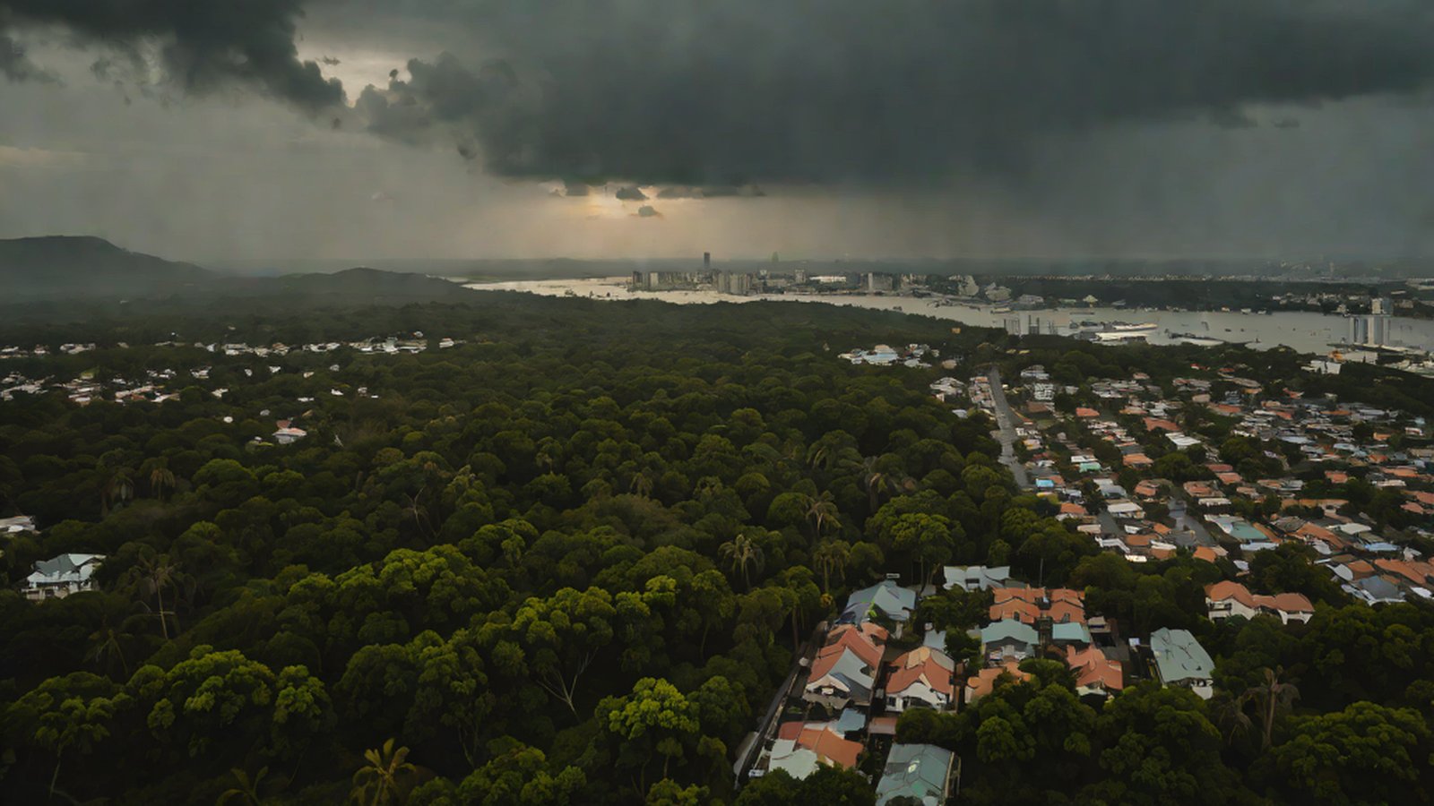
Close your eyes for a moment and imagine. You are traveling to a distant country by plane. You look out the window with excitement, but all you see is a thick blanket of clouds, looking like spilled milk. You have no way of knowing if there are lush forests, peaceful villages, or an angry, waving sea beneath them.
Until now, the satellite maps we’ve used have actually faced a similar dilemma. While satellites look down at Earth from space, it was difficult to grasp exactly what was happening on the surface on rainy or heavily clouded days. it was a frustrating situation, much like having your glasses fog up at a critical moment.
However, ‘AlphaEarth Foundations,’ recently announced by Google DeepMind, has solved this long-standing problem in an entirely new way. It acts like a ‘virtual satellite’ that stays awake 24 hours a day for our planet, creating a ‘living map’ that sees clearly beyond the clouds and shows how the Earth is changing in real-time [2] Meet AlphaEarth Foundations: Google DeepMind’s So Called ‘Virtual Satellite’ in AI-Driven Planetary Mapping..
This technology goes far beyond just creating a pretty map for navigation. It is a massive project to build a sort of ‘digital twin’ that detects in advance where the Earth is ‘hurting’ or where there is a risk of disaster [3] AlphaEarth is a foundational AI model that creates a living, breathing digital twin of Earth.. Today, I will explain step-by-step how this smart AI reporter is changing the future of our planet.
Why is this important to our lives?
You might ask, “We already have Google Maps on our smartphones, why do we need another complex map?” However, AlphaEarth has a completely different purpose than the general maps we use to find restaurants.
- A Real-time Checkup Tool for Earth’s Health: With the Earth suffering from climate change, there are limits to how much humans can manually track how fast glaciers are melting or how much of the Amazon rainforest is disappearing. AlphaEarth allows AI to autonomously analyze the vast Earth and capture signs of anomalies first [15] Google’s AlphaEarth Foundations tracks the whole planet’s climate, land use, potential for disasters….
- Disaster Relief Squad Securing the Golden Hour: When a sudden flood or wildfire occurs, if the situation cannot be grasped due to thick smoke or clouds, the damage can spiral out of control. AlphaEarth, which can ‘see through’ clouds, becomes a reliable guide for rescue workers, telling them which path is the safest and fastest [15].
- A Compass for a Sustainable Future: Farmers can know exactly when and how much water or fertilizer their fields need, and environmental organizations can precisely track coastline erosion to establish countermeasures [1] In Ecuador, the model sees through persistent cloud cover to detail agricultural plots….
In simple terms, AlphaEarth is ‘the world’s most powerful magnifying glass and real-time status window’ used by humanity to more wisely manage and protect our vast home, the Earth [12] …to help understand our planet in magnificent detail.
AlphaEarth’s Secret: How does it see beyond the clouds?
Instead of using complex technical terms, let’s break down AlphaEarth’s operating principles with two metaphors that anyone can understand.
1. Dividing Earth into puzzles the size of ‘half a basketball court’
The more precise a map is, the higher its value. AlphaEarth analyzes land and coastal areas worldwide by dividing them into dense 10m x 10m squares [14] …processing data into 10-meter squares covering land surfaces and coastal regions.
How big is 10 meters? It’s roughly the size of half a basketball court. Managing the massive Earth in such small pieces means tracking even the smallest changes on the surface—for example, a new small path in a forest or minute changes in river water levels—without missing a thing.
2. ‘Super Special Glasses’ with 64 functions
Human eyes see the world by combining three colors: red, green, and blue (RGB). However, AlphaEarth looks at data across 64 different dimensions simultaneously through a technology called ‘Embedding Fields’ [1] …assigning the colors red, green and blue to three of the 64 dimensions of AlphaEarth Foundations’ embedding fields..
To use a metaphor, it’s like wearing 64 types of special glasses all at once—glasses that see moisture content, glasses that check plant health, and glasses that measure soil density, rather than just seeing colors [14] …indicate material properties, vegetation types…. When the AI combines this vast amount of information, it can accurately guess what is hidden beneath the clouds by synthesizing various surrounding data, almost as if it had X-ray vision.
Current Status: An AI with Trillions of Memories
To acquire such incredible abilities, AlphaEarth has completed an enormous amount of study. Google DeepMind poured trillions of satellite image data points into training this model [11] Google AI model mines trillions of images to create maps of Earth ‘at any place and time’. Furthermore, it is updating its maps in real-time by learning from terabytes (TB) of new data that pour in every day [14] …processing terabytes of daily satellite data….
Its performance has already been proven. For example, in the Ecuador region, famous for being covered in thick clouds year-round, AlphaEarth saw through the clouds to show in great detail the current state of agricultural plots (whether they were in the early seeding stage or ready for harvest) [1]. We have entered an era where advanced information that previously required a person to fly in or visit the site can now be accurately grasped by AI from the comfort of an office.
This technology is the heart of Google’s ambitious ‘Earth AI’ initiative [12] Developed as part of the company’s new Earth AI initiative…. Their ultimate goal is to create high-quality maps that literally cover ‘the entire Earth,’ including remote areas and developing nations where maps were difficult to create due to a lack of data [10] …translating sparse labels into maps..
The Future Drawn by AlphaEarth: How will our lives change?
The ‘living, breathing digital twin of Earth’ that AlphaEarth will complete will entirely transform the landscape of our lives.
First, the pace of environmental protection will accelerate. If someone secretly cuts down a forest or dumps pollutants into a river, the AI guardian monitoring the entire globe can send an immediate warning. Additionally, it contributes to reducing global hunger. By predicting signs of drought or pests in 10m units in advance, we can respond preemptively to food crises. Most importantly, it makes us realize that the Earth and we are connected as one. By identifying the intricate links within the global ecosystem through data, we will find specific answers on how we can coexist more harmoniously with nature [3] …helping us understand the intricate connections within our global ecosystem..
Google stated its ambition, saying, “We launched AlphaEarth to help understand our planet in magnificent and minute detail” [12].
MindTickleBytes’ AI Reporter Perspective
Until now, when we thought of AI, we mainly imagined it talking like a human or drawing cool pictures. However, AlphaEarth clearly demonstrates how powerful a tool AI can be in solving the massive problem of ‘environment,’ which is directly linked to human survival. I hope this technology—which finds truths hidden behind clouds and lets us hear the Earth’s heartbeat through data—will serve as a valuable opportunity for us to understand and love our one and only Earth more deeply.
References
- AlphaEarth Foundations helps map our planet in unprecedented detail
- Meet AlphaEarth Foundations: Google DeepMind’s So Called ‘Virtual Satellite’ in AI-Driven Planetary Mapping
- AlphaEarth: A Foundational AI Model for a Living Digital Twin of Earth
- Google DeepMind’s AlphaEarth Foundations’ Embedded Field
- Mapping Our Planet’s Future: How DeepMind’s AlphaEarth Foundations is Revolutionizing Earth Observation
- [2507.22291] AlphaEarth Foundations: An embedding field model for Earth observation
- Google AI model mines trillions of images to create maps of Earth ‘at any place and time’
- Google Launches AlphaEarth Foundations to Revolutionize Global Environmental Mapping
- Google’s AlphaEarth Foundations: AI-Powered Virtual Satellite Revolutionizes Earth Observation
- Google’s AlphaEarth Foundations Tracks the Whole Planet’s Climate, Land Use, Potential for Disasters
- 1km units
- 100m units
- 10m units
- 3
- 64
- 128
- Measuring underwater temperatures
- Observing the surface through thick cloud cover
- Analyzing urban noise pollution